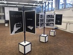
The first MPE2013 exhibition featuring the winner modules of the MPE2013 competition held in collaboration with IMAGINARY takes place from March 5 – 8, 2013 at the UNESCO headquarters in Paris.
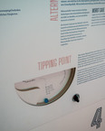
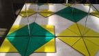
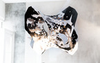
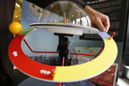
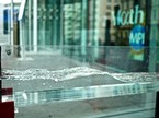
Erosion and fractal coasts
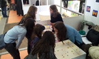
hands-on
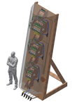
Erosion and fractal coasts
Licence
Credits
- Design and Implementation
Michel Darche
Regis Goiffon
Website
Related Events

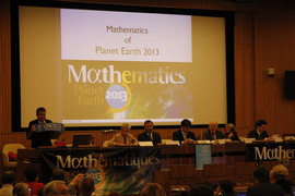
The Heidelberg Laureate Forum Foundation invites you to visit the exhibition “Mathematics of Planet Earth” at Karlstorbahnhof in Heidelberg, Germany! It runs from July 5 to Aug 2, 2015, for the first time in Heidelberg. It offers a big variety of exciting adventures for children and adults alike.
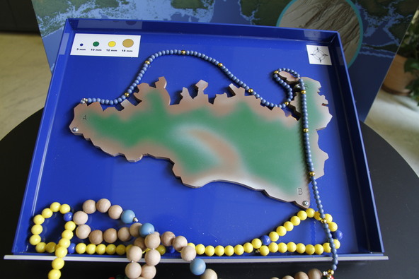
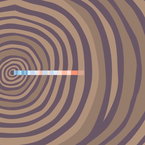
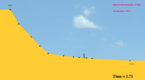
In the 60’s, it was noticed that the geometry of rocky coasts is also fractal: this means that, when zooming on a photo, whatever the zoom, we see new details appearing that have the same character as the large scale details.
Why is this geometry fractal?
The sea destroys first the most fragile rocks. When it starts forming a small cove, the sea violently comes in and increases it. But then, the length of the coast increases, and the strength of the waves is spread along a longer coast. Hence, it is commonly admitted that the erosion is weaker along fractal coasts.
Geographers have modelled the evolution of the coastal morphology when erosion destroys the softer rocks, and hence increasing the irregularities of the coastline. In their model, the strength of waves is inversely proportional to the length of the coast.
The process stabilizes with the final coast having a fractal dimension exactly equal to 4/3 = 1.333.
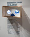
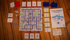
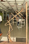
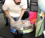
This module is part of the MPE exhibition. You can rent this module for a lumpsum fee. A detailed manual how to rebuild this module will be shared.